SERVICES
CGWA Approval
We prepare complete documentation based on required investigation as per the CGWA guidelines for obtaining No Objection Certificate for groundwater extraction from Central Ground water Authority, New Delhi for industries, Infrastructures & mines.
Hydrogeolgocial study
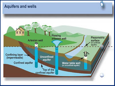
The purpose of the study is to identify the potential water zone by determining the characteristics of aquifer within the catchment area. Hydrogeological study deals with the geology, movement of water in the subsurface zone and groundwater quality of water regime.
Rainwater harvesting study
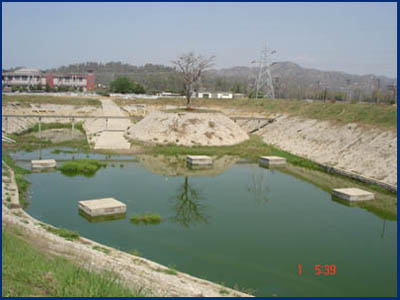
We design RWH structure based on average annual rainfall, peak rainfall intensity and the intake capacity of the water by the aquifers. These services are rendered by our skilled professionals with the help of the latest tools and technology to meet the precise needs of the clients.
Bore-well drilling
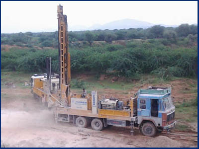
Our experienced team can design and drill production tube-wells, injection wells and recharge shaft based on detailed information about the depth of water-producing zones, confining beds, well production capabilities, water level and groundwater quality.
Groundwater exploration
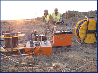
We are offering Geophysical Services in the field of groundwater exploration using geoelectric resistivity survey techniques. We select the site for both Borewell and Dugwell purely based on the principles of "Geophysical Investigation" using Electrical Resistivity Meter.
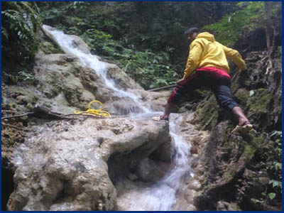
Surface water study
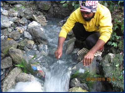
This study aims to examine the potentiality of River basin to meet the water demand in a sustainable manner. The measurement of river flow is required for river management purposes including water resources planning, pollution prevention and flood control.
Water resources evaluation
This study describes potential zones in terms of ground water quantity & quality. We evaluated what water resources are available in a catchment and what proportion of those resources can be sustainably exploited for various uses, after setting aside a proportion for environmental needs.
Groundwater modeling
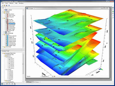
We offer detailed study to assess aquifer conditions by field data collection, drilling and pump testing of boreholes as well as numerical modeling to design practical solutions for the feasibility of water abstraction and discharge through wells.
Salinity assessment
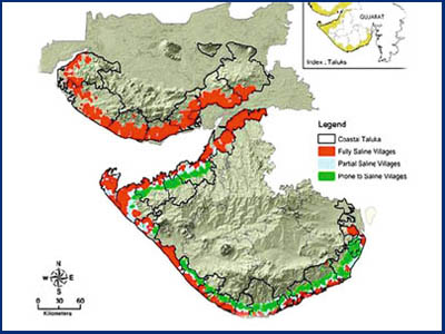
We suggest the salinity ingress prevention measures to improve and develop appropriate new salinity ingress prevention schemes.Salinity ingress primarily occurs because of excessive withdrawal of groundwater, and the consequent seepage of sea water into the earth's substrata.
Dewatering for mines
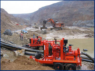
TWe provide useful initial guidance on the selection of dewatering techniques in relation to permeability (hydraulic conductivity) of the ground and the required drawdown of groundwater levels. We conduct the study to control groundwater to allow excavations.
Flood risk assesment
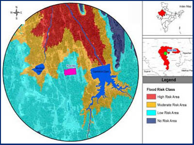
The objective of this study is to assess flood hazard and risk by using Geographic information system (GIS) and remote sensing techniques. We approach the spatial multi-criteria analysis method coupled with geographic information system (gis) using digital elevation model to identify the flood prone zone.